Kyushu Nature Trail: Miyazaki Section – Vol. 1
Photos: Hitoshi Tayasu
Kyushu Nature Trail: Miyazaki Section – Vol. 1
Photos: Hitoshi Tayasu
Ever heard of Japan’s Long-Distance Nature Trails? First conceived by the Ministry of the Environment in the 1970s and developed by the national and regional governments, the trails span eight sections, connecting parts of northeastern and southwestern Japan on three of the four main islands: Tohoku, Tokyo Metropolitan Area, Tokai, Chubu-Hokuriku, Chugoku, Kinki, Kyushu and Shikoku. Two more –– the Hokkaido Nature Trail, in the northernmost main island, and the Tohoku Pacific Coast Nature Trail –– are in the works. In theory, a thru-hiker will one day be able to walk 27,000 km of trails. But in reality, many sections aren’t well-maintained, and not many hikers who go on to complete the Tokai Nature Trail, linking the two major commercial centers of Tokyo and Osaka, share much about their experiences.
Masaru Kiyota, a frequent contributor to Yamatomichi Journals, who has walked all three of the US’s major long-distance trails, set out to explore one of these long trails. His destination: the 350-km Miyazaki section of the 2,932-km Kyushu Nature Trail. Despite its name, the trail is hardly a walk in the woods. Long sections are paved; some parts are overgrown and neglected. It makes you wonder: Would anyone enjoy this so-called nature trail? Then again, hiking isn’t only about climbing mountains. As Masaru explains, a walking journey can be so much more.
Preparing for the Journey
I’d woken up at 08:00 this morning. Last night was a regular day at cafe&bar peg, which I run in Osaka, and I didn’t get home until after 02:00. I was dragging. At 11:00, I’d be catching the Shinkansen to the southwestern main island of Kyushu for a three-week journey in Miyazaki prefecture. I needed to start packing.
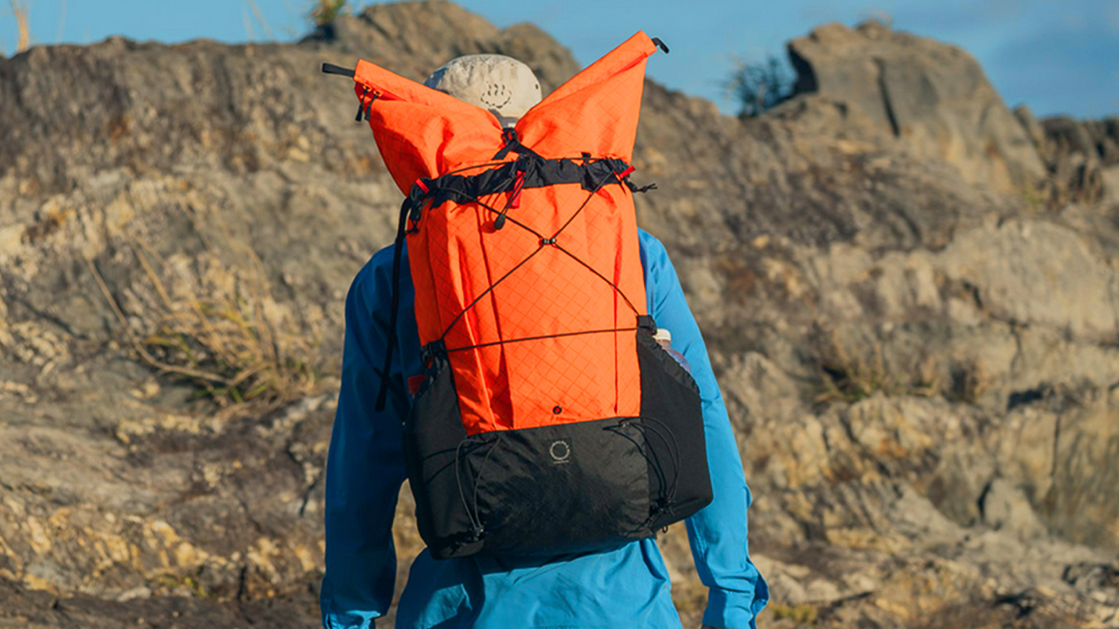
I forced myself out of bed. Which backpack should I take? The Palante V2 pack that I used on the Arizona Trail in the spring or the Yamatomichi MINI2 that I hadn’t taken on a trip in a while? I decided to go with the MINI2. The rest of my gear would be straightforward. In the living room, I started laying out what I think I’d need.
October in Miyazaki is warm. According to the weather forecast, daytime temperatures were expected to be in the high twenties (degrees C). Since my trip to the Arizona Trail in March, I’d been living in shorts and a T-shirt. This year’s summer would last longer than usual.
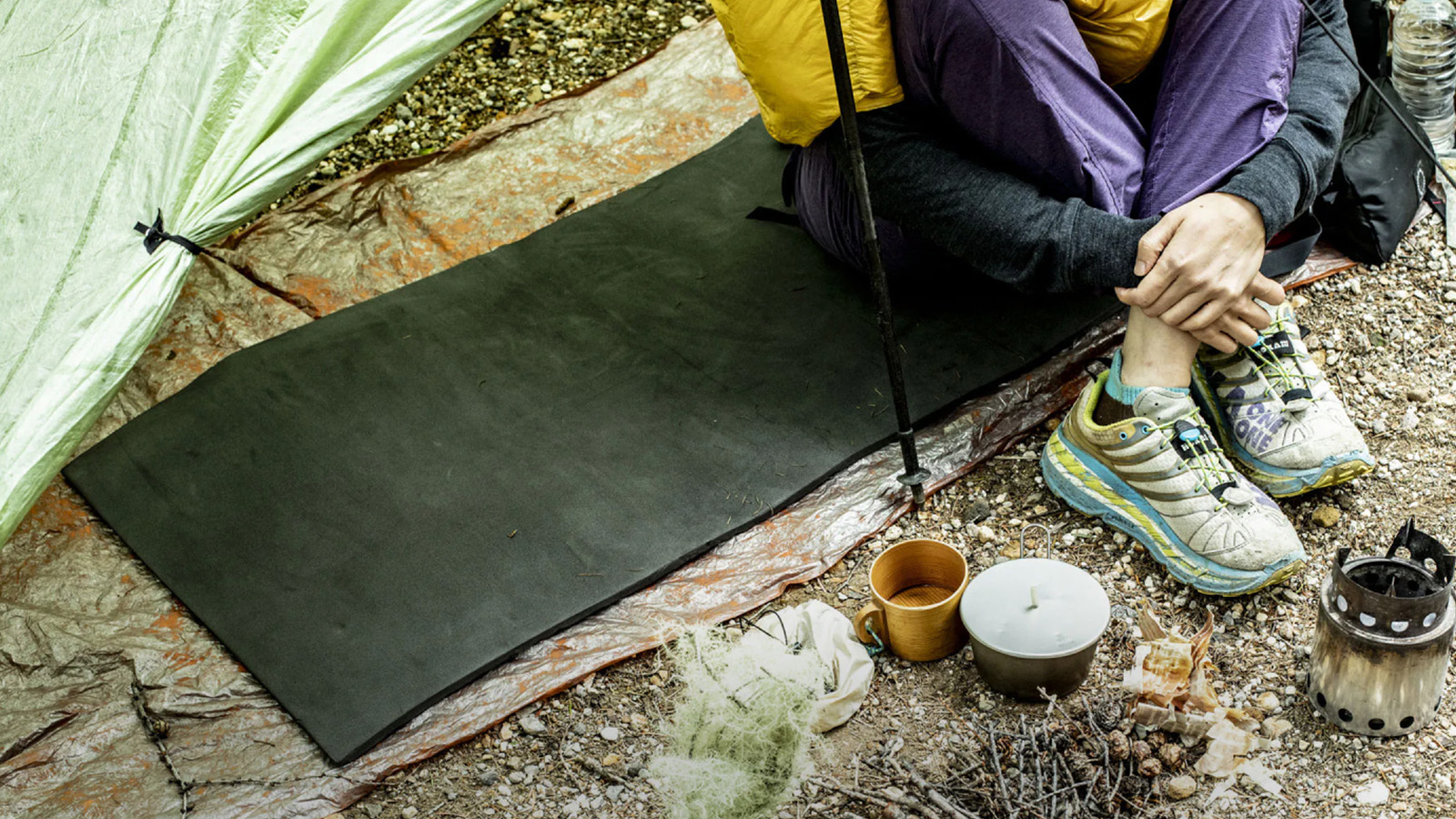
I’d take my favorite tent, the Big Sky Wisp Moonview. I’d be sleeping on the Yamatomichi UL Pad and in Montbell Down Hugger #3 sleeping bag with a Static Adrift Liner. I don’t have a lot of gear to choose from, so I’d carry the usual: cooking utensils, clothing, bottles, trekking poles, batteries, food bags. I’d put in the miles in my Pentapetala Papilio and my DIY huaraches. I was anticipating some hot days on the trail, so I’d likely alternate between the two for comfort.

The contents of Masaru Kiyota’s backpack for the Kyushu Nature Trail
It’s often said that planning a trip can be as exciting as the trip itself. I’ve never felt that way. I wish I did. For me, getting ready is usually just a hassle. And I often forget things. This time, I’d left my charger plugged in at my bedside. I’d have to buy one somewhere along the way.
I’d be going on a long-distance journey over hundreds of kilometers. Nothing new for me, but this trip would be different in many ways. I wonder how many people have even heard of Japan’s long-distance nature trails? I knew of the Tokai Nature Trail, which connects Mt. Takao in Tokyo to Minoh in Osaka, but that was the only one I’d heard about.
Long-Distance Nature Trail?
The Kyushu Nature Trail spans 2,932 km, looping around all seven prefectures of Japan’s southwestern main island of Kyushu. My plan was to walk about 350 km of the Miyazaki section.
The journey began more than two years ago, when Shin Hasegawa, from the Trailblaze Hiking Institute in Tokyo, said to me: “Masaru! Go walk the Miyazaki section!”
The institute promotes hiking and trail culture by supporting the establishment and management of trails and providing information to hikers. Having proper long trails in Japan would get more people walking –– and foster happiness. I responded to Shin in 2021. But my walk would have to wait two years: inadequate maintenance and damage caused by typhoons had made parts of the trail unwalkable. By the autumn 2023, trail conditions had improved enough for me to set off.
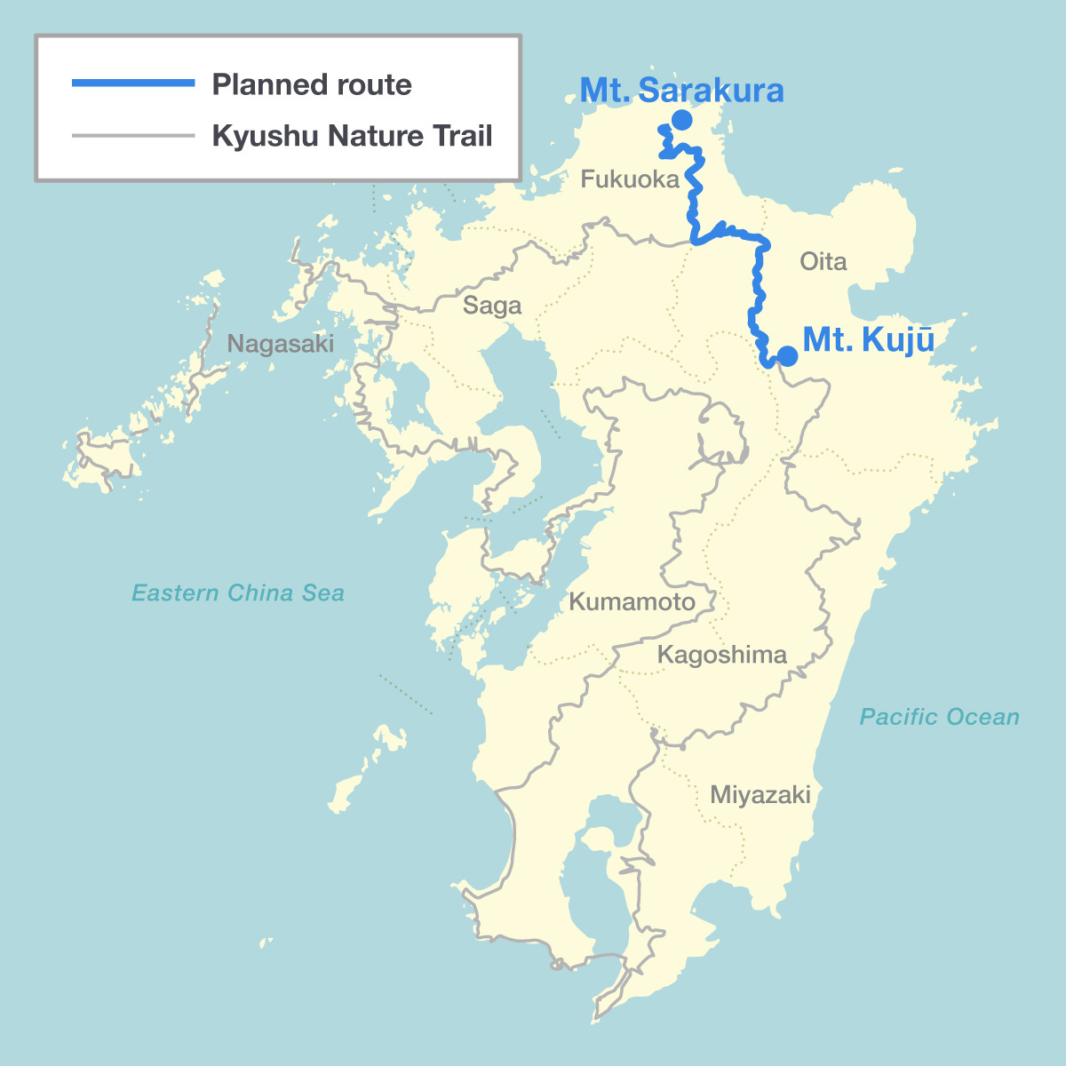
A brief word on the long-distance trails here. According to the Japanese Environment Ministry website, the trails are “designed to allow people to easily, enjoyably, and safely walk throughout the year, while interacting with nature, history and culture, refreshing both body and mind and gaining a deeper understanding of conservation.” When completed, the country’s long-distance trails will span 27,000 km.
27,000 km of trails! Since I started walking long trails, I’ve traveled about 16,000 km. I assumed that I had walked a fair amount, but this network of trails in my own country had me rethinking that.
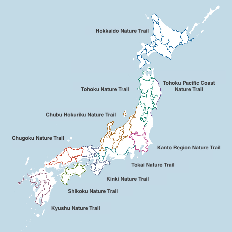
The then-Ministry of Health and Welfare announced the plan for long-distance trails in 1969 –– more than a half century ago. Back then, my parents were in primary school and Japan’s economy was growing rapidly. Against the backdrop of infrastructure projects, urban overcrowding and pollution-related diseases, the view of wilderness as a place of relaxation was on the rise. This led to the creation of the country’s long-distance nature trails.
One article that I found described the Tokai Nature Trail –– the first designated by the national government –– as being inspired by the Appalachian Trail, one of three major US long-distance trails. But it wasn’t only about the trails. Plateaus, swamps and gorges would later be set aside as quasi-national parks –– playing a role in protecting woodland and wetland areas. I don’t know how people used these nature trails at the time. In recent years, many of my nature-loving friends have enjoyed walking the trails, but hardly any of them have gone long-distance. I was no exception: Though I occasionally see markers for these nature trails, I had never walked one. Few users probably means that most of these trails are reverting to their naturally overgrown state. Walking the trails was one way of making them more user-friendly. This was on my mind as I prepared to set off along the Miyazaki section of the Kyushu Nature Trail.
The Gateway to Kyushu
There’s a city that I often visit whenever I’m in Kyushu. It’s called Moji Port, in Kitakyushu, Fukuoka prefecture, and it’s thought of as the gateway to Kyushu. I had just been there two weeks before my walking trip. As I headed towards the ticket gate at Moji Port Station, I spotted my walking companion and photographer, Kimitoshi Tayasu. He’s an experienced hiker who walked the Pacific Crest Trail (PCT), a major long trail on the Western side of the US, in 2022.
When I was preparing to open cafe&bar peg., Kimitoshi made the trip from Tokyo on an overnight bus to help out. I’ve long admired the photographs that he takes for the compelling stories that they tell.

Why meet up with Kimitoshi at Moji Port if we were going to walk in the neighboring prefecture of Miyazaki? He’s someone I always want to see when I come to Kyushu. He isn’t the only one. Past the touristy area around Moji Port Station is a small cafe with a welcoming wooded interior and soft lighting. This is cafe&bar tent, run by Shu. “You’re here!” Shu greeted me with a broad grin from behind the counter.

Shu is a long-distance hiker himself. He walked the PCT in 2018 and the Continental Divide Trail, another long US trail, in 2022. I consider Shu a brother, friend and comrade. Although he is 20 years older than me, he treats me as a peer, and I’m grateful for that. Shu’s cafe&bar tent. in Moji Port and my own cafe, peg., in Osaka, might be the only two in Japan run by long-distance hikers. Our businesses allow us to promote hiking culture and share our personal experiences with others. They’re also havens for nature-lovers. If I don’t stop by Shu’s place, it doesn’t feel like I’ve come to Kyushu. It’s like my second home in Kyushu. During my stay in Moji Port, I prepared for my journey by staying at the home of a friend who also happens to be a regular customer at tent.

My walk would take me southbound. My plan was to start at Mt. Sobo, on the border of Oita and Miyazaki prefectures, and finish at Mt. Takachiho on the border of Kagoshima prefecture. In my head, I was mulling over my starting point and the temperatures I’d endure. I had yet to look into how frequently I could resupply my food. Based on past walks around Japan, carrying enough food for about two to three days would probably suffice to get me to my next resupply point.

On this journey, I would mostly be on nature trails, not scaling rugged mountains. I’d likely pass by vending machines, small shops, diners and public baths along the way.
“How are we getting to Mt. Sobo?” asked Kimitoshi.
“We’ll probably take the train and then a bus to the trailhead,” I said.
Kimitoshi stared at a map on his phone.
“There’s a bus, but it’s just a community bus that runs around 7 in the morning,” he said.
“In the worst-case scenario, we can just walk to the trailhead, right?”
I hadn’t done any proper planning. Kimitoshi seemed to sense this. For me, too much planning can take the joy out of the journey. We would go from one resupply point to the next. For starters: We stocked up on food for our destination, Takachiho Gorge.
Day 1

After leaving Moji Port, Kimitoshi and I arrived at Bungo-Taketa Station, the closest railway depot to the Kamihara trailhead of Mt. Sobo. It was 15:30.
“Where should we sleep tonight?”
“A guesthouse? Around here?”
From Bungo-Taketa Station to the Kamihara trailhead is just under 20 km. Walking that distance on the road would take about four hours. We could easily find a place to stay near the station, but having slept under a roof for several consecutive nights, I was antsy to get moving. Even so, I didn’t want to walk on the roads at night with headlamps. Maybe I should’ve decided on this beforehand.
Then again, this was typical for me.
“I’ll go ask at the tourist information center if there’s a place where we can sleep,” I said.
At the tourist information center, I explained our situation to the woman. Her suggestion was to stay at a lodging and ride the community bus to the trailhead in the morning. But I wanted to explore other options.
“Is there a place nearby where we could pitch a tent and sleep?”
She made a call. (To whom, I wondered.) Kimitoshi came in, and we waited for the woman to finish.
“Yes, I understand. I will let them know,” she said, before hanging up.
When she returned to speak to us, I noticed that she was holding a pamphlet with a map of the surrounding area.
“You have permission to camp at Nakajima Park Riverside Pool,” she told us. We couldn’t have been more grateful.
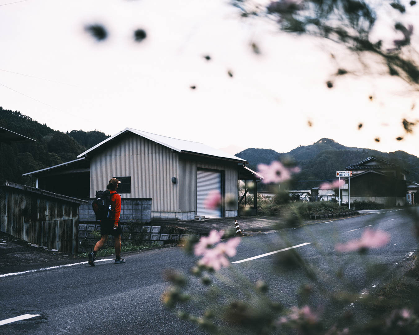
From Bungo-Taketa Station to Nakajima Park Riverside Pool it’s about 5 km. On foot, we would be there in an hour. With our first night’s accommodation set, we headed to a nearby supermarket for supplies before making our way to the park.
When hiking the mountains around Japan, you’re usually sleeping at campsites or mountain huts. But on a walking journey like this, you often don’t know where you’ll be sleeping until the end of the day. This uncertainty is the essence of a nature trail walk.
And thus began our Hike Miyazaki adventure.

Rewarding the Slowest
“The Kamihara Trail to Mt. Sobo is tough!” Every local, especially elderly residents, told us this as we made our way to the trailhead for Mt. Sobo.
We were hardly novice travelers. The two of us had walked thousands of km, slogged through harsh weather and pulled off steep ascents and descents.Those past hikes were on our minds when we arrived at the Kamihara trailhead.


“I wonder if it’s really that tough.”
“They probably mean that it’s hard for the elderly.”
“Yeah.”
“Let’s go see for ourselves!”
We bantered like this as we headed off from the trailhead.

We were walking in Oita prefecture, on the Kyushu Nature Trail. The border between Oita prefecture and the next one over, Miyazaki, runs along Mt. Sobo, and we headed to the summit to begin our attempt of the trail’s Miyazaki portion. Technically, our journey hadn’t yet begun, but it certainly felt like it already had.
The Kamihara Trail followed a flowing stream, gradually rising in elevation. Occasionally, sunlight broke through the clouds and filtered through the foliage. It was a good start. Our spirits were high and our steps light.

We stopped at a mountain hut for a breather.
“This isn’t tough at all.”
“Of course not! Do you realize how much ground we’ve covered?
“Sure.”
“Let’s take a short break and then head up to the top!”
“Let’s get to Miyazaki!”
We adjusted our packs and resumed our ascent, Kimitoshi falling in step behind me. Near the top, the slope became steeper. Our pace slowed. At one point, I realized that I couldn’t hear Kimitoshi’s footsteps. When I turned around, I could barely make out his yellow backpack some distance below me.
“Are you slacking off?” I shouted.
“Sorry!”
Kimitoshi had his camera equipment on top of his usual gear, so it was understandable that his pace was slackening. I decided to slow down so that we wouldn’t lose sight of each other. As the path steepened, fatigue started to set in. Though I was going slower, I was straining. So much for the hardened hiker in me.
My confidence at the start had been premature. I now couldn’t think about anything else but my own struggling steps. I felt incredibly small. Hiking in the mountains never seems to get any easier. This mountain seemed to mock my efforts.

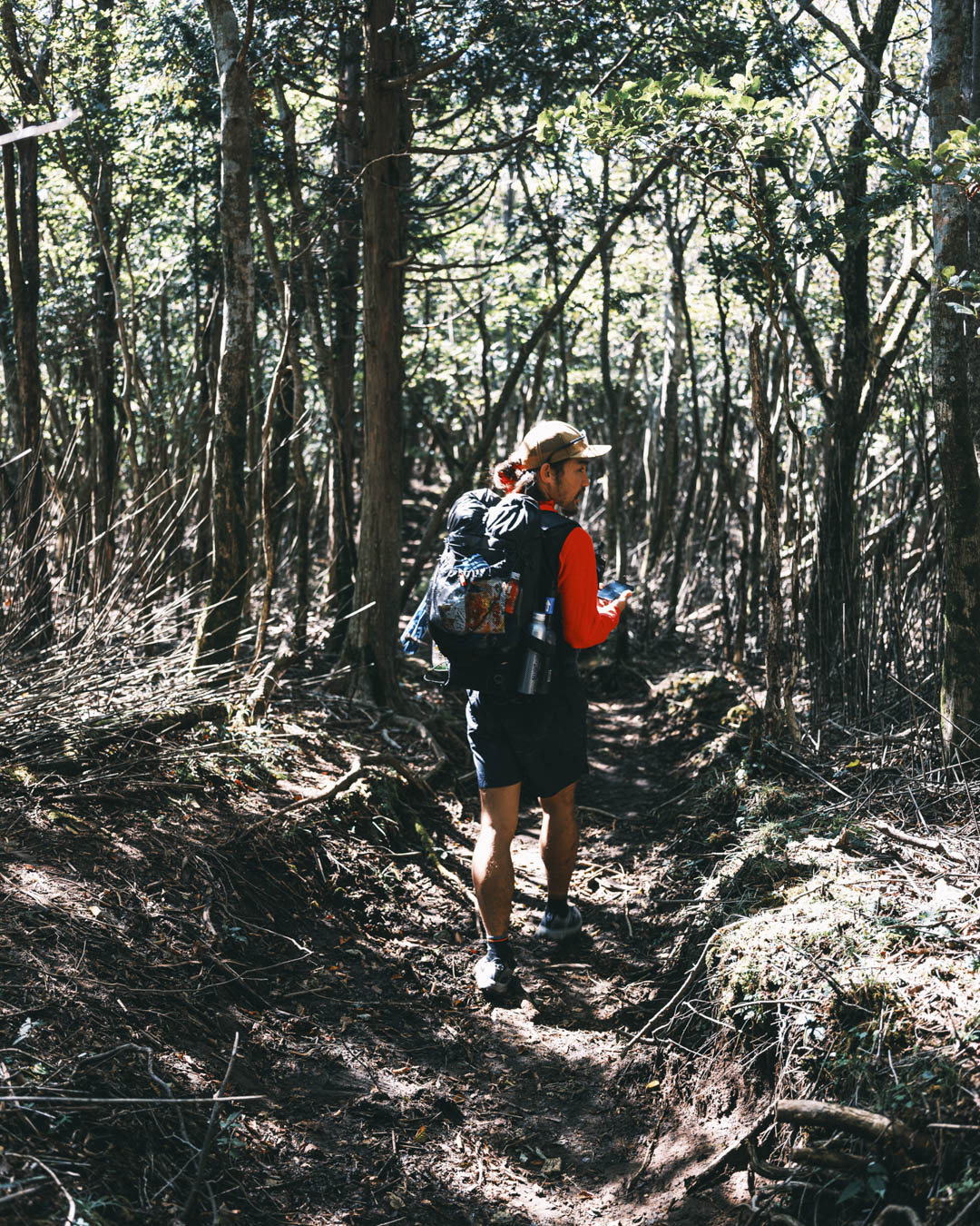
Drenched in sweat, we reached the Kunimi Pass. The peak of Mt. Sobo was still ahead of us, but the pass marked the beginning of the Miyazaki section. Nothing indicated that we’d crossed the border between prefectures, perhaps because too few people came through here. We kept looking for something to latch onto as our starting point. Then we noticed a signpost for the Kyushu Nature Trail –– the first of many that we would follow for the next 350 km. On the post was the trail’s symbol: a snail. It was fitting for our slow, deliberate journey with our gear.

At the starting point of the Kyushu Nature Trail on Mt. Sarakura, in Fukuoka prefecture, an inscription reads: “The benefits of nature trails are twofold: building physical strength and fostering a closeness to nature. It would be a great misfortune if, in the future, nature trails were used for competitions of physical strength. If that were to happen, I would award a prize to the person who came in last.”
The quote comes from Benton MacKaye, whose vision, outlined in an article for the October 1921 edition of the Journal of the American Institute of Architects, inspired the creation of the Appalachian Trail in the US. MacKaye’s words are a potent reminder for our strenuous climb to Mt. Sobo. The essence of his message: there’s no need to rush.

祖母山を下山して五ヶ所村を歩く。
Golden Miyazaki
In October, northern Miyazaki prefecture has the ideal hiking weather. From Mt. Sobo, we set out for Takachiho Gorge.

I had only ever known Takachiho Gorge from tourism photos: rowboats floating between steep cliffs carved by water. What’s not well-known is that a nature trail cuts through. The typical directions to get to the gorge are for driving or riding trains and buses. Going on foot offers a very different perspective.
We passed through villages, countryside, settlements. I’m not that interested in visiting only well-known landmarks. Not that I’m trying to disparage travel to tourist sites. It just feels like you’re skimming the surface of a place.
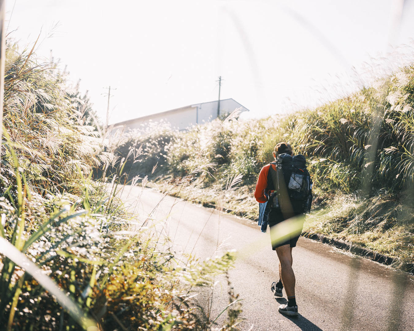

To me, walking to a tourist destination imbues the place with something more. The journey –– the interactions with locals in villages and rural areas, terrain, climate, culture and history –– adds to its story. I learned that Takachiho is a land of myths and heard about the year-round tradition of locals hanging shimenawa* (a sacred rope) above their doorways.
*According to myths detailed in Japan’s oldest surviving texts –– Kojiki and Nihon Shiki, dating back more than 1,300 years –– Amaterasu-omikami, the sun goddess, plunged the land into darkness when she holed up in Amano-Iwato cave. After she was lured outside, a shimenawa (sacred rope) was strung outside across the entrance to the cave to prevent her from ever again depriving the land of sunlight.
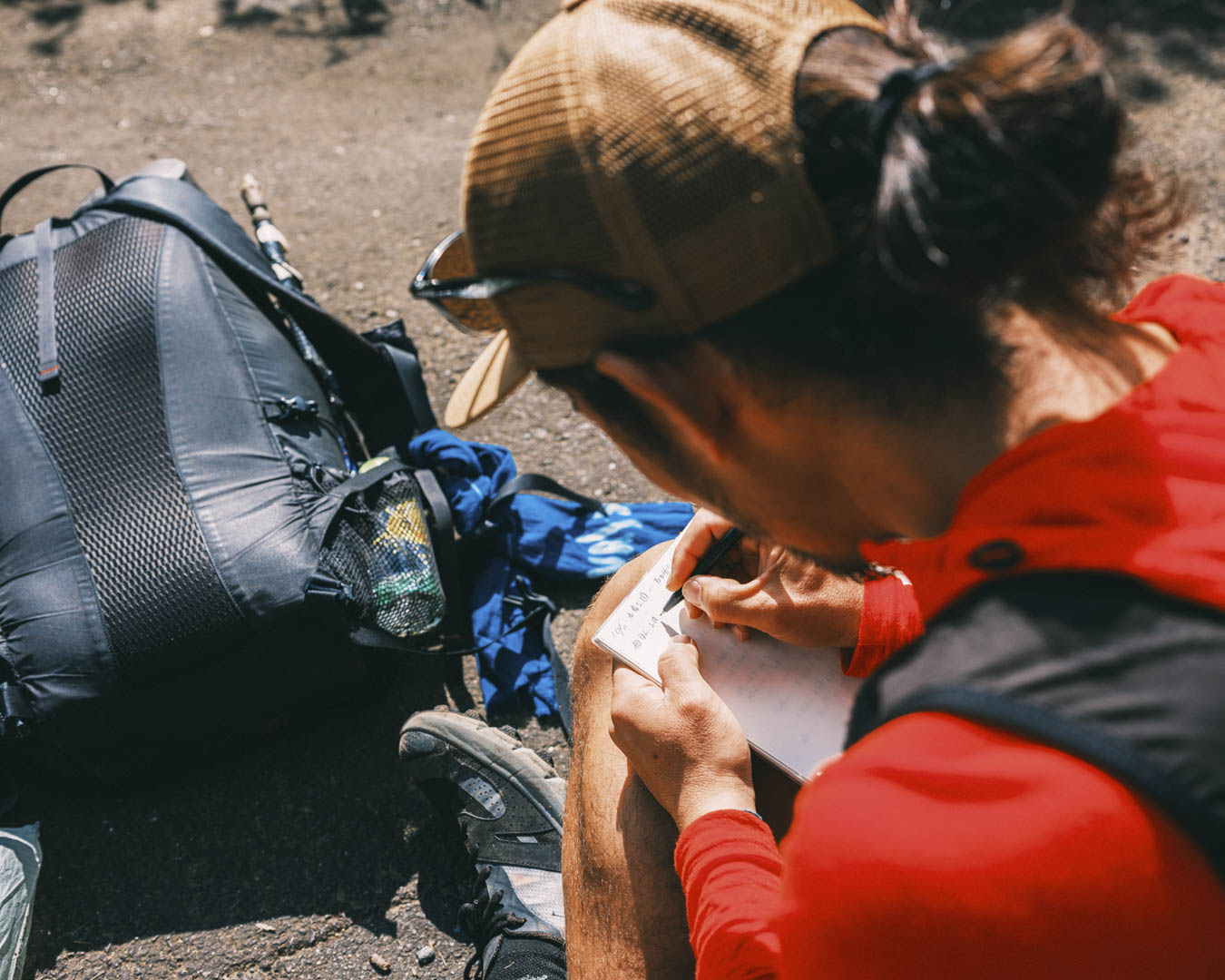

At around 10:00 on a weekday, we arrived at Takachiho Gorge. The place was bustling with tourists taking photos. In contrast to the countryside we’d come from, the gorge had a hectic energy, which I embraced as part of our journey.

Thirty minutes after we’d left Takachiho, we were back in the countryside. The rice harvest was about to begin, and in the fields the plants were so top-heavy that they looked as if they might touch the ground.

Farmers worked in their fields. Kei trucks –– those tiny pickups favored by farmers –– and tractors passed by us on the road. For locals, this was a familiar, routine scene. But for me, this was abundance on display; the result of seedlings planted in spring that basked in the summer sunlight to grow heavy with grain by autumn. These people’s lives reflected a sense of harmony with the cycles of nature.

For a big city dweller like me, these were scenes that warm the heart. When I think of Miyazaki, I picture the sea, surfing, mangoes, and chicken nanban (deep-fried chicken with a tangy seasoning and homemade tartar sauce) –– standard images of the prefecture that get broadcasted to the outside world. I’d heard about the many attractions along the Miyazaki Trail but also the difficulties of fully understanding what I would see. I was starting to grasp what they meant by this.
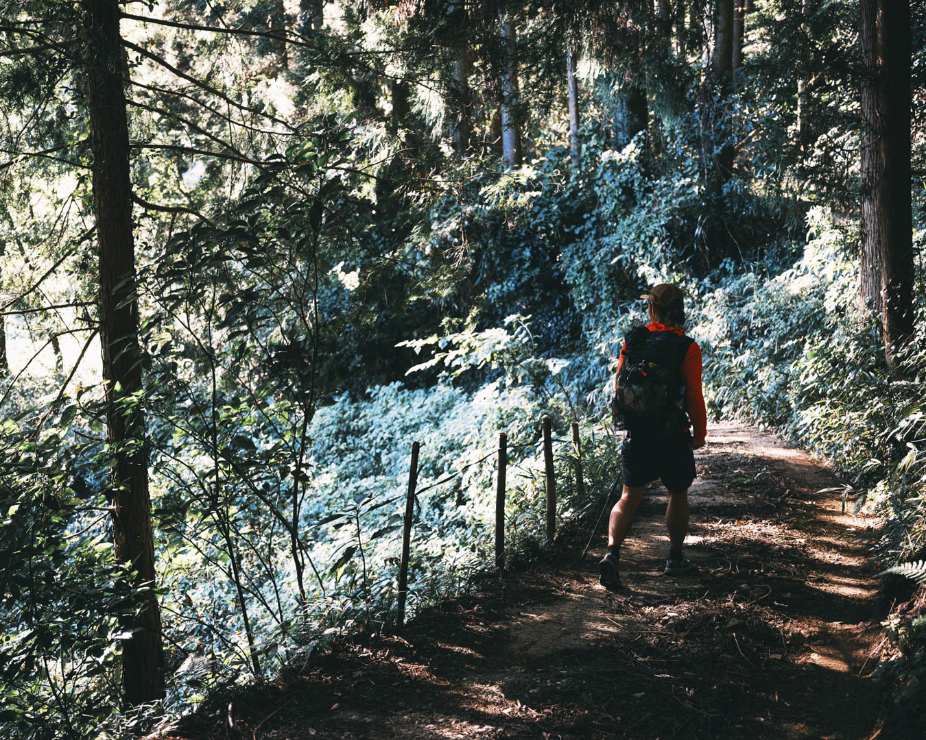
Along the Miyazaki Trail, there are few major attractions like Takachiho Gorge. Maybe Mt. Sobo and Mt. Takachiho come close. As you walk, it’s the spontaneous meetings with locals, who take a break from their farm work to chat, that bring true joy.
This is where Miyazaki’s charm lies –– and it differs in every season. Ichi-go ichi-e (literally, one time, one meeting) describes a journey through this place: every moment, every encounter is a unique experience.
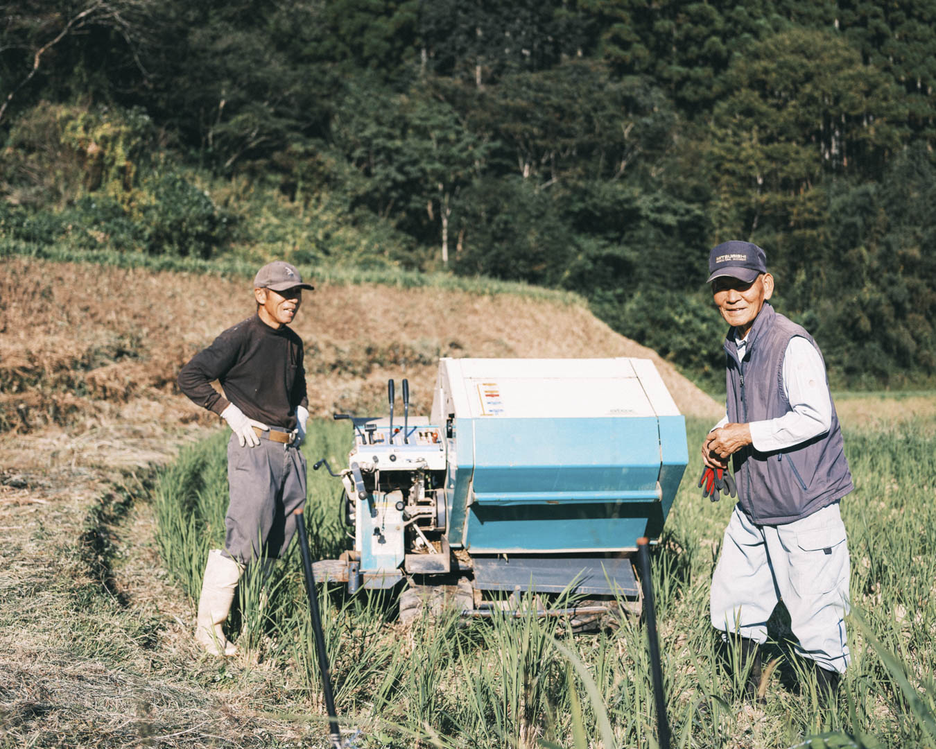


Our journey wasn’t even halfway over. We were walking toward a destination, but it didn’t yet feel that way. Our path took us through populated areas, so there was no need to veer off and find a town where we could replenish our food supplies. We were focused on the present; what was around us, in front of us. It felt just right for this trail.
【CONTINUED IN HIKE MIYAZAKI, Kyushu Nature Trail: Miyazaki Section – Vol. 2】
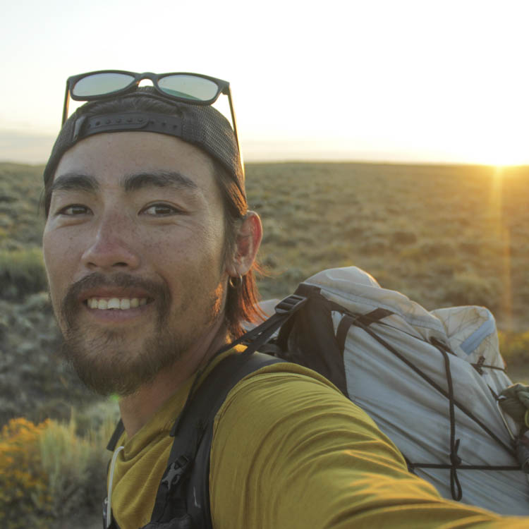
Masaru Kiyota is the owner of cafe & bar peg., in Osaka, and frequently shares his travel experiences through social media and podcasts. In 2013, he cycled around Japan. A year later, he spent a working holiday in Australia. From 2015 to 2016, Masaru traveled around the world. In 2017, he hiked the Pacific Crest Trail in the US, followed by the Appalachian Trail in 2018 and the Continental Divide Trail in 2019. He walked the Michinoku Coastal Trail in Japan’s northeastern Tohoku region in 2020.


